Atlas 14 Floodplain Study - Urban and West Watersheds
Client: City of Austin
Location: Austin, Texas
Services: FEMA Mapping, COA Watershed RL, H&H Modeling
Project Details:
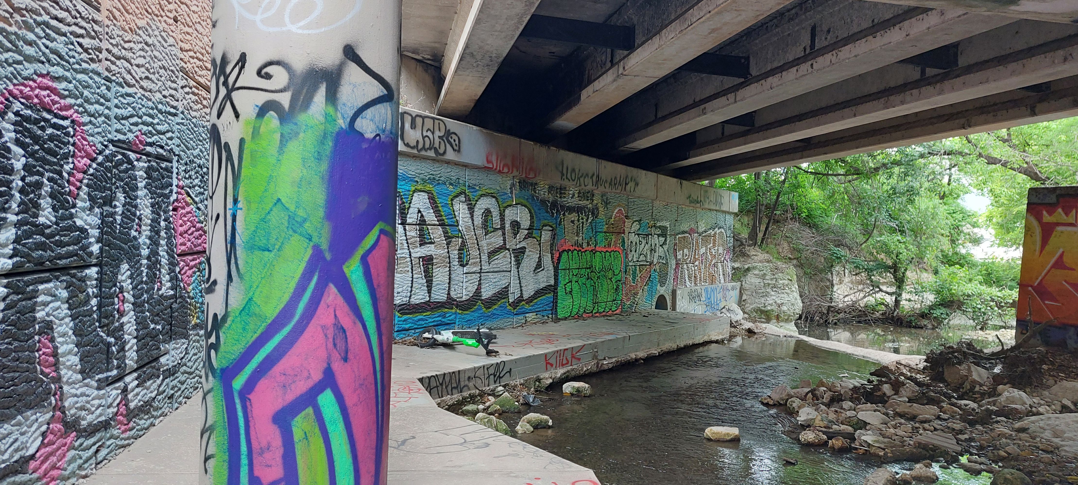
The Atlas 14 Floodplain Study of Urban and West Watersheds South of the River is part of the City of Austin’s comprehensive effort to update floodplain modeling and mapping throughout the City of Austin and surrounding areas.
Miller Gray was responsible for conducting a hydrologic and hydraulic analysis of Bee, Blunn, Eanes, East Bouldin, and Little Bee watersheds.
The analysis includes a comprehensive, geographically referenced hydrologic and hydraulic evaluation of the 12-square-mile watershed including approximately 26.9 miles of detailed stream modeling in an urban area with approximately 96 hydraulic structures. This analysis also includes an extensive hydrologic calibration effort using multiple storm events and flow gages. A frequency analysis was performed at the historical streamflow gages. The hydraulic portion of this analysis includes the integration of LIDAR data, on-the-ground survey data, and field measurements. The hydraulic model includes 14 unique flood profiles representing various existing conditions and ultimate conditions storm events. The hydraulic model was also calibrated at the historical streamflow gages.