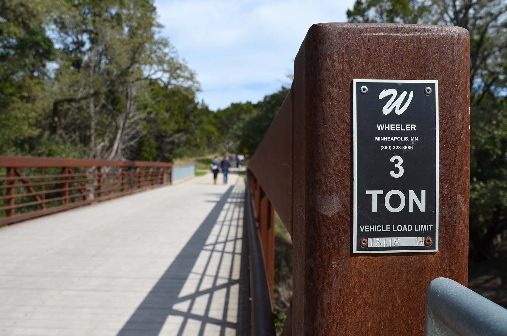
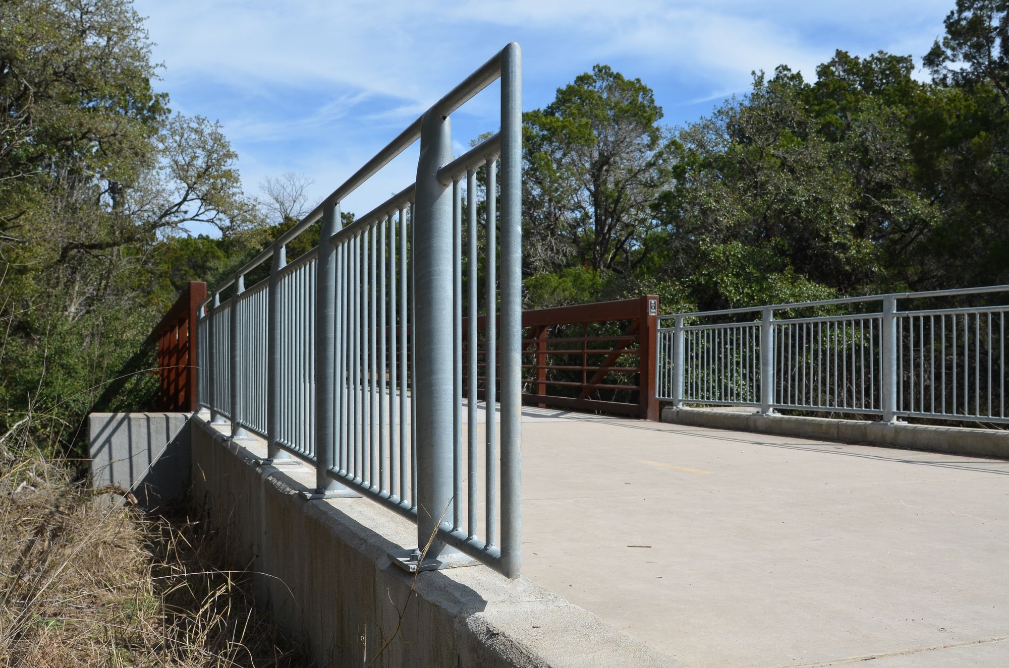
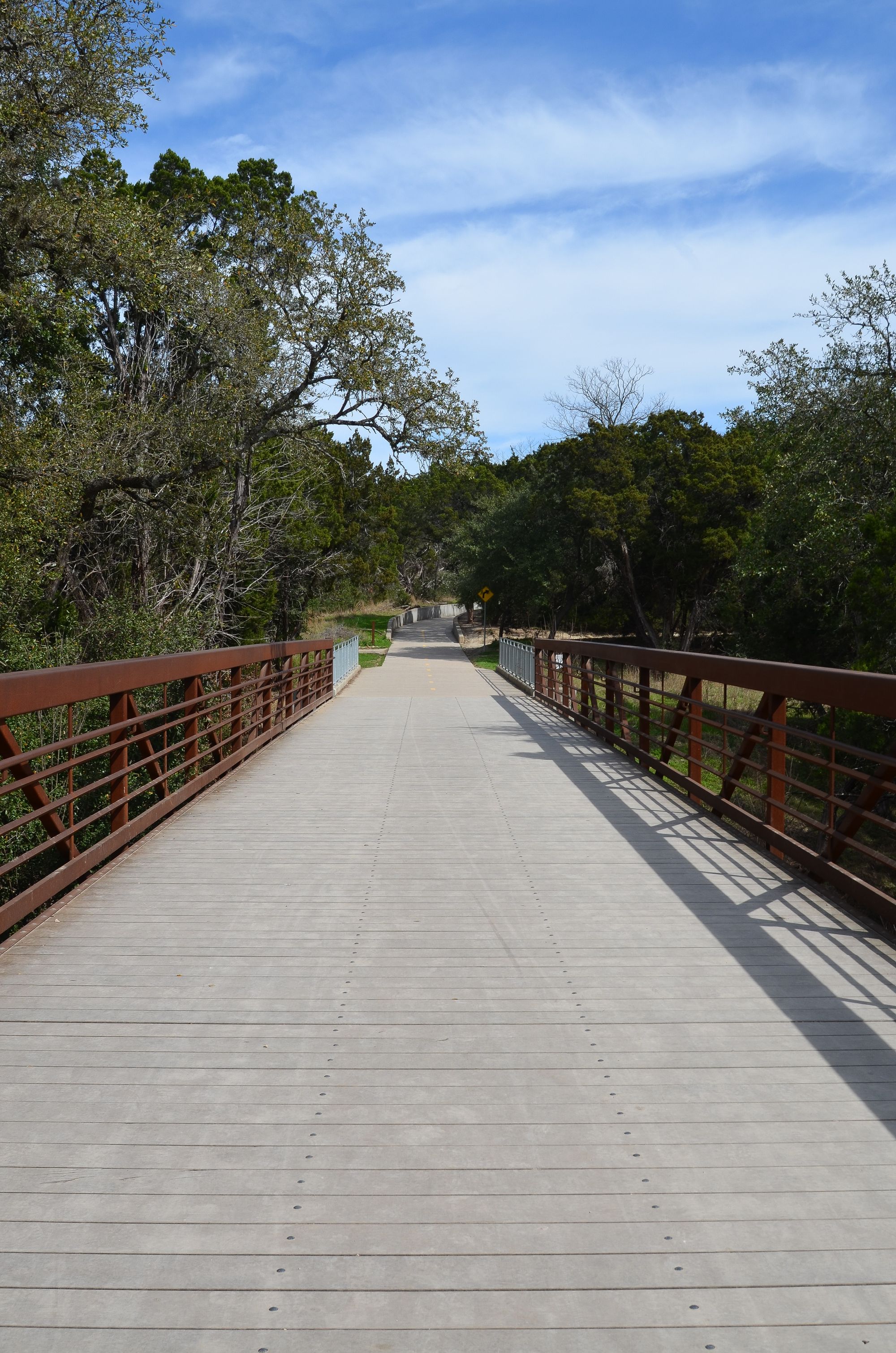
The Red Line Trail is a 1.5-mile shared-use path that enhances multimodal connectivity from Capital Metro’s Kramer Station to the Northern Walnut Creek Trail system. Funded by the 2016 Mobility Bond and led by Austin Public Works’ Urban Trails Program, the trail runs parallel to the Red Line tracks and Kramer Creek, with five planned creek crossings—two within FEMA floodplains and all affected by Austin’s fully developed floodplain. Miller Gray provided drainage engineering services, including georeferenced H&H models for Kramer Creek and a tributary to Walnut Creek. We analyzed the fully developed 1% and 0.2% annual chance events to account for future NOAA Atlas 14 conditions, sized bridge structures, and incorporated survey, utility, and site development data into our models. The project concluded with a drainage workshop and preliminary engineering report to guide final design.